Hiking Journal
August 2014
mt. eddy
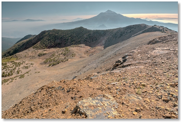
I had been meaning to go up to Mt. Eddy for several weeks but first a period of cold north winds and then a series of thunderstorms kept me away. Lingering smoke from numerous lightning-caused fires hung over the Crags like a thick fog so I seized upon this and a calm morning to give it a try.
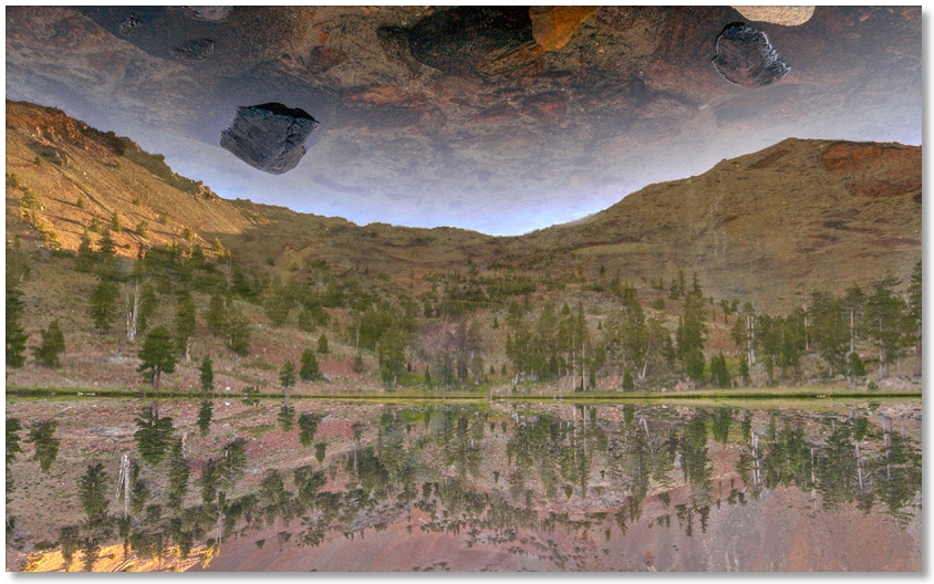
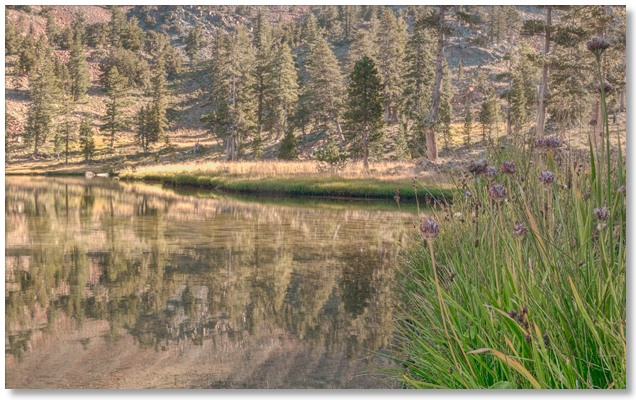
I made good time up to the middle lake but slowed a bit climbing to the upper lake, where I stopped to get the picture above [inverted] showing an extremely wind-less morning. So far there were no other hikers and I relished in the feeling of having the trail to myself for once. The switchbacks up to the summit were as tedious as expected but the views were worth it, except for the smoke-filled valleys everywhere I looked. The air at the 9,000' summit was crystal clear but a south wind brought the smell of smoke up to meet me on the way down. About 2½ hours each way and a little over 11 miles round trip.
indian creek nature trail-flume trail-pct-bobs hat trail loop
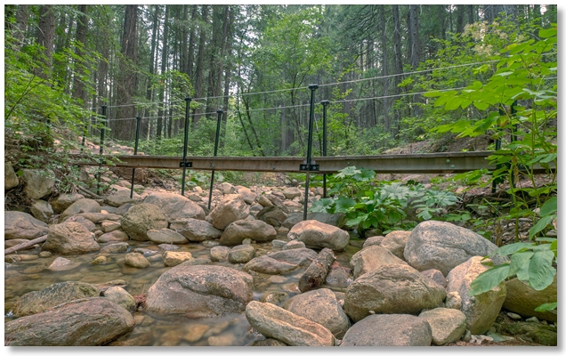
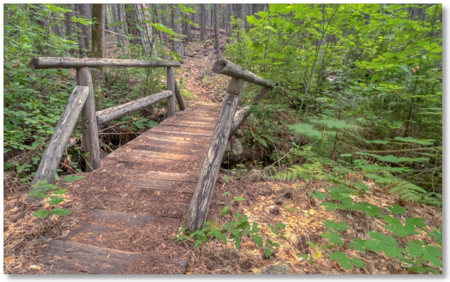
In an effort to breathe relatively fresh air for at least a few hours I decided to go for a hike along the south side of the Crags. The new temporary lower bridge over Indian Creek [above] was in place and began what was to become a study in the deteriorating quality of bridges as one goes farther afield (and upstream) from Park Headquarters.
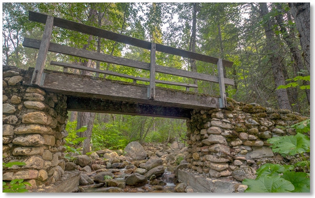
Whatever the upper bridge [above] might lack in the way of a span is more than made up for in its nice rock cribbing, although high water a few years ago eroded the upstream side quite a bit.
At the upper end of the Indian Creek Nature Trail I turned off onto the Flume Trail and crossed this bridge [above] successfully without yielding to the temptation to lean against the railing at any point.
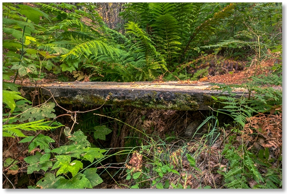
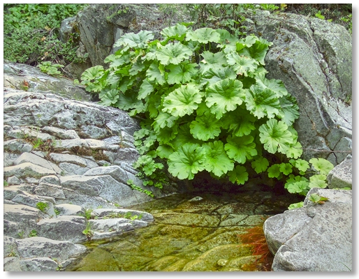
Finally there was this excellent example [above] of blending the infrastructure into the environment in a pleasing and functional manner. I was so enamored with this one that I walked back and forth over it several times, savoring the moment. Rather than the feeling of your body passing over the gully as you walked it was almost like the gully was passing under you.
Continuing up the Flume Trail to the PCT, I followed that back to the Bobs Hat Trail and then down the seemingly endless service road to the Park Headquarters, after covering a little over 7 miles.
indian creek nature trail-pct loop
With an all-to-brief rain after a lightning and thunder extravaganza I seized upon the chance of hiking under smokeless skies and set out early along the Indian Creek Nature Trail. Not nearly enough rain had fallen to even leave any traces except an overall lack of dust and the occasional sprayback as I brushed against a branch.
At the top of the loop I took off cross-country along Indian Creek and followed it to Winton Creek then up to the Pacific Crest Trail, where I passed the nice lunch spot pictured above. Hiking west along the PCT I dropped down to the end of the service road, followed it for awhile, then dropped back down to the creek and back to the parking lot for a 5 mile loop that didn't require a single instance of brushclimbing!
disappearing creek
Ready for another hike in smoke-free air, I decided to go up Disappearing Creek again but with determination to reach farther [further? more?] up into the canyon.
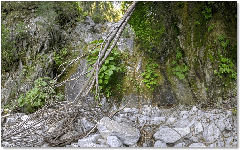
Although there are numerous great camping spots along the PCT right at the creek crossing, there isn't any water available until you walk another 5 minutes or so north and jog over to the signed water source. Hiking up the creekbed is easy here (provided you like boulder-hopping) but some sections of rock are polished like Yosemite granite, indicating that for at least some part of the year this creek really cranks.
Soon one reaches a short drop-off, which might require a bit more effort than merely walking along skipping over small puddles, and eventually the drop-offs get higher and higher, and you come upon them sooner and sooner. This begins to involve climbing up the embankment a certain degree to pass around the obstacles, then dropping (sometimes literally) back down to the creekbed.
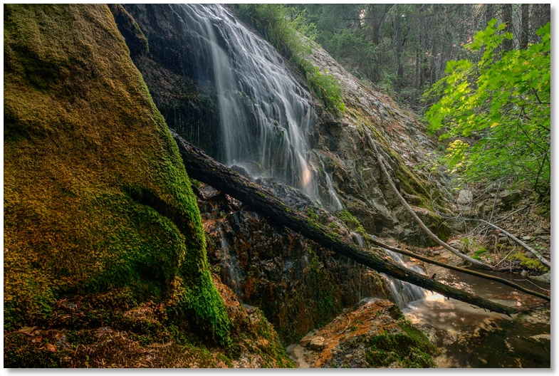
This process manifested itself to a point where as soon as I "dropped back down to the creekbed" I'd only have a few minutes until I had to clamber up the hillside again, so at one point I stopped for lunch at the spot pictured below and then headed back down to the PCT while my knees were still functioning.
mt. eddy
The possibility of a clear day made another trip up to Mt. Eddy seem like a natural choice. With school back in session the possibility of seeing hordes of other hikers was nil, but I did meet 3 on the way in and 5 on the way out
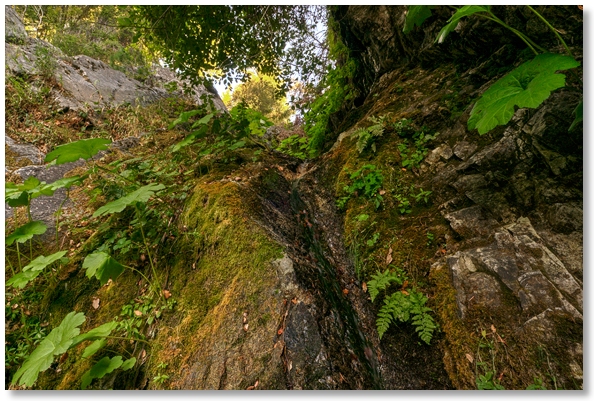
The little spring on the left side of the trail around ¾ of the way to the lakes was still going strong, but there weren't any wildflowers left to speak of. Once I topped out on the ridge above the Upper Lake and got into sunlight it was warm and calm all the way up to the summit. Unexpectedly serenaded by a zillion grasshoppers, I spent about an hour or so looking at all of the interesting rocks everywhere, then added what was determined later to be way too many into my pack and headed back down. It was nice to see only a narrow band of smoke on the horizon and the color returning to distant landscapes.