Hiking Journal
September 2016
sisson-callahan trail
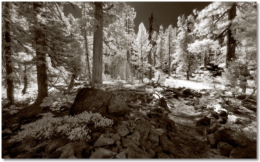
I drove up to the Deadfall Lakes trailhead, then continued down the other side to explore the area where the Sisson-Callahan Trail crosses the Trinity River. My first hike was up the trail to the west of the highway as it goes up to Bull Lake. The trail was extremely well "delineated" along the lower section — almost as well maintained as the PCT, but there were sections that were reminiscent of other parts I've hiked on that you had to actually look around and undergo some rudimentary routefinding. Keeping this in mind, I took pleasure in reducing the CPM [cairns per mile] to a level that I felt was acceptable.
Later I checked out the east side of the highway, where the trail crosses the Trinity River, which at that point is not much more than a stream made up of the flows from High Camp, Deadfall, and Bear Creeks. The trail around here is quite good but any offtrail hiking involves basically walking on (or around) small boulders wherever you go.
pct toward trinity divide
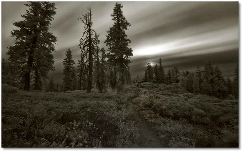
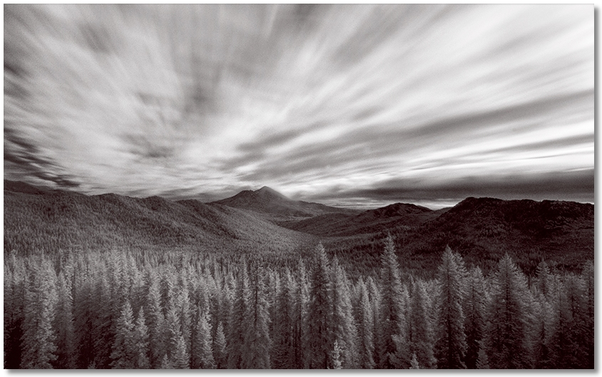
Fall is the time that I try to get in as many higher elevation hikes as I can before it starts to snow, so I went up to the PCT trailhead above Gumboot Lake to hike over to the Trinity Divide.
The morning was cloudy and overcast, and with a determined wind it really felt like Summer was over. The hiking was easy and mine was the only vehicle in the parking area, so I had the trail to myself. Naturally, as soon as I got back to my car and began to drive home the wind stopped, the clouds went bye-bye, and the rest of the day was sunny and warm.
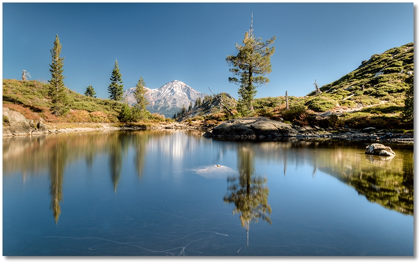
castle and heart lakes
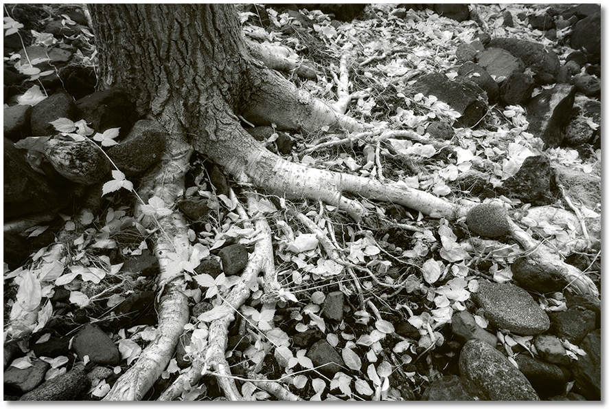
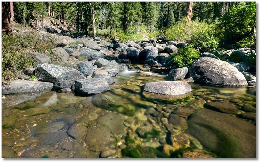
This time I was headed up to Castle Lake, but stopped a few times and explored around Scott Camp Creek. Judging from the humongous pile of driftwood against the upstream side of the culvert going under the road to the Lake Siskiyou campground, this creek has a whole different character after a good storm. This might be due to the upper end of the drainage being wide and flat, while the lower end is very narrow with steep sides, which also means that hiking along the lower end involves boulder-hopping in the creekbed and little else.
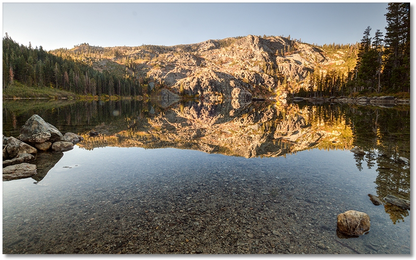
After poking around Scott Camp Creek, my early start enabled me to get up to Castle Lake shortly after the sunlight broke over the ridge to the east. The lake was as smooth as glass and absolutely silent. After grooving on this for awhile, I hiked up to Heart Lake and saw that the water level was about 3 feet lower than it had been in the Spring. The only sounds were an occasional screech from birds along the cliffs behind the lake, and it was so calm I could have easily taken a long nap on the grass in the meadow. No wind, no clouds, no noise, no other people anywhere...