Pacific Crest Trail
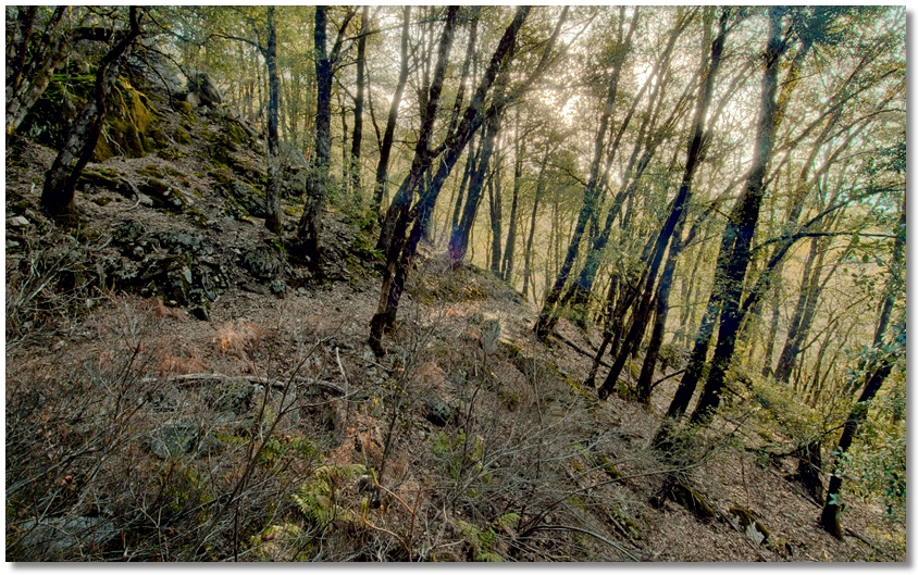
The trailhead on the eastern side of the Crags is located on the west side of Interstate 5 at the Soda Creek Exit. After passing through a maze-like gate, you turn left before the dirt embankment and after a short walk along an old paved road the trail turns to the right at a line of telephone poles and climbs steeply for about 10 minutes until it reaches the junction of the Kettlebelly Trail. It levels off here and follows an old logging railroad grade and after about another half hour or so reaches the junction of the Root Creek Trail, and shortly afterward meets a major "intersection", shown below.
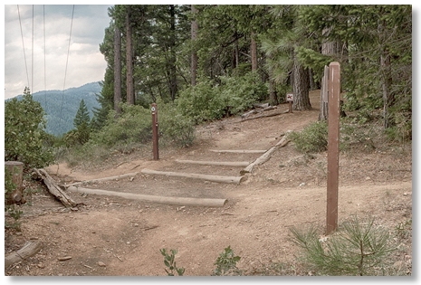
Here, upon a particularly scenic power line right-of-way, you can continue around the saddle along the PCT [from right to left in the picture], turn left and head down to the Kettlebelly Ridge parking area (and Vista Point), or turn right and go up hill along the Crags Trail to Castle Dome.
Continuing along the PCT, you reach the junction for Bob's Hat Trail in about 15 minutes, where you can head downhill to the Park Headquarters and campground, or head uphill to reach the Crags Trail. From here it's a little over 19 miles until you reach the Trinity Divide. Another 15 minutes gets you to Indian Springs Creek, a year-round source of water.
Dump Creek (named for an old garbage dump along its lower reaches, not because of any lack of scenic value) does have a small flow of water even late in the summer during a dry year.
From this area it's about 45 minutes to the Flume Trail junction, where you can head downhill back to the Park Headquarters area, and another half hour to Sulphur Creek, where a faint trail leads down to the paved Castle Creek Road. At this point of Sulphur Creek you're upstream from the Sulphur Spring, so the water can be filtered and used without having to hold your nose.