west end
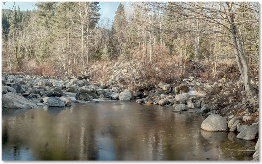
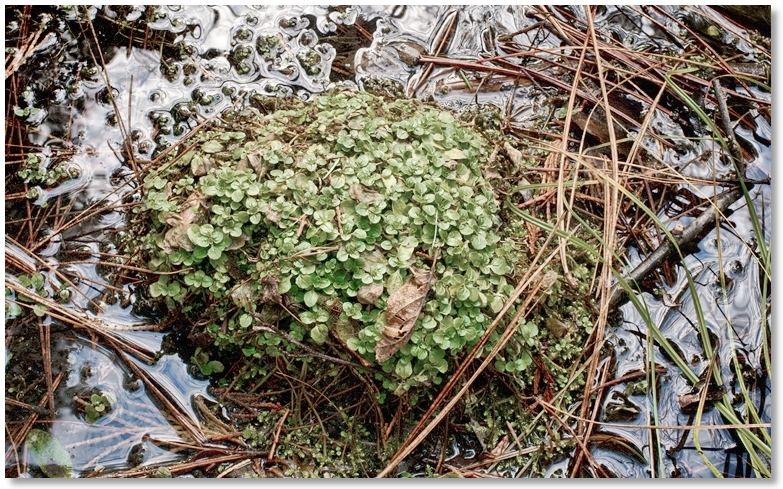
Compared to the east or "freeway" end of the Crags, the west end, with few trails and steep terrain, sees considerably less use. This is where the South Fork of Castle Creek, draining the Seven Lakes Basin, joins the North Fork, which drains the watershed south of Castle Lake. During a wet year, this area can have spotty marshes here and there, which help keep things green surprisingly late in the year.
The Pacific Crest Trail can be accessed from the Dog Trail off the paved Castle Creek Road, but this is the last place to pick it up if you're hiking north until you get to the paved road above Gumboot Lake, almost 20 miles away. East of Burstarse Creek, the PCT gets into "switchback mode" and climbs up the North Branch of the North Fork of Castle Creek, also known as Disappearing Creek, which is a name that could describe many of the creeks around here in a dry year like we're having in 2013/2014. The marked "water source" at the lower end did have water flowing as of mid-January, however.
There are other alternatives to trail hiking, especially with the low or non-existant flows in the creeks this year. Providing that boulder-hopping interests you, one could travel a considerable distance along the streambeds and not expect to get a dunking, as would certainly be the case during the spring runoff.
This end of the Park can also be reached by hiking from Castle Lake up to Heart Lake, then going cross-country up to the ridge and bushwacking down to the PCT, then either going west to the Trinity Divide and Gumboot Lake, or east along the south side of the Crags to Interstate 5.