River Trail
The cleverly-named River Trail follows the east side of the Upper Sacramento River from just north of the Castle Crags State Park campground to a dead-end 1½ miles upstream.
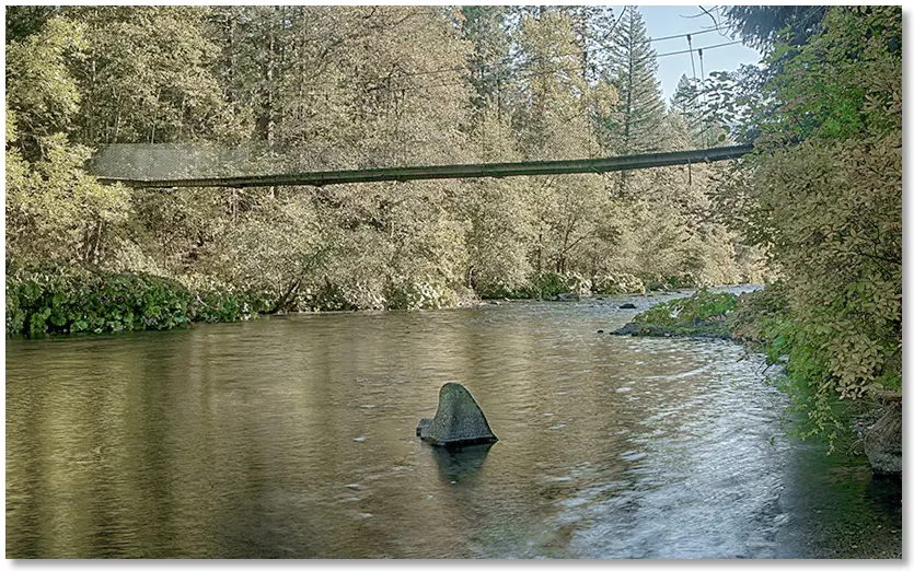
One way to begin is by parking about ¼ mile north of the Castella exit on Interstate 5 along the frontage road on the east side of the freeway. A gap in the fence leads down a short trail to an underpass below the railroad tracks and then a swaying suspension bridge [shown above] over the river, with the trailhead just beyond.

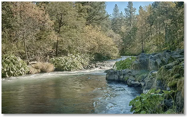
Almost all of the trail is in a shady forest at river level, with only a few short climbs to avoid riverside cliffs. If you enjoy seeing fall colors on bigleaf maple, vine maple [shown above], and especially Indian Rhubarb, this is the hike to go on in October.
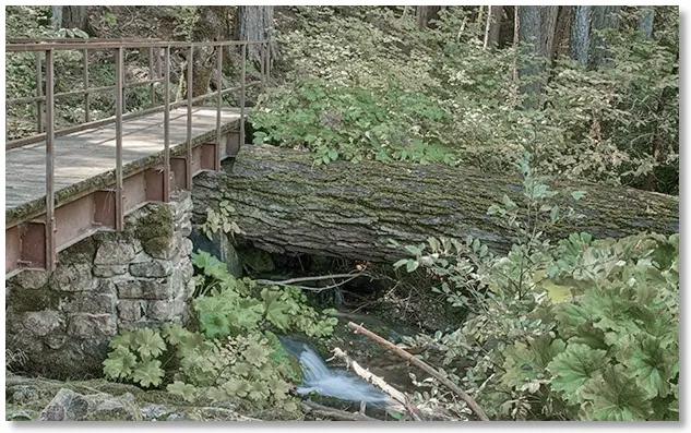
Several creeks flow into the river along the trail; each seemingly topped with a bridge of a different design — even in a dry year the whole area is moist and green.
If you plan on fishing, there are long flats and several large pools located along the central and northern section of the trail [shown above looking north]. A paved road follows the trail (and the east bank of the river) from the Castella exit on Interstate 5 to the Soda Creek exit, 2 miles north.