Winton Creek
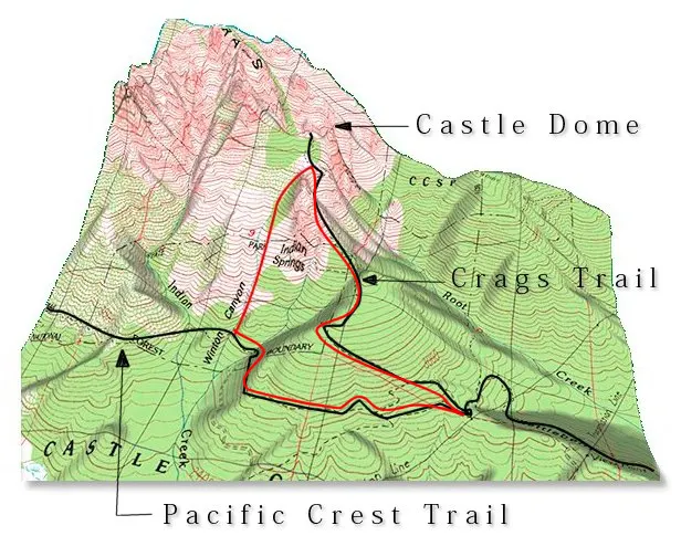
This hike began as an effort to get up to Castle Dome without using the Crags Trail, which is often choked with pontificating hikers, yodelling kids, and barking dogs on summer weekends.
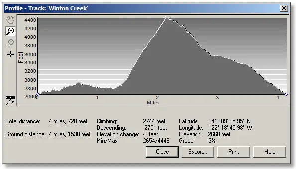
This is about a 4¼ mile loop starting on the Pacific Crest Trail and following Winton Creek up (and up) until you reach the Crags Trail below Castle Dome, where it's only a short hike up to the Dome itself.
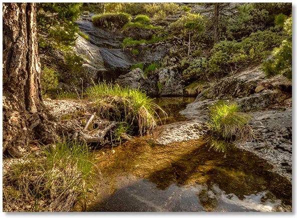
Heading uphill from the PCT to the right of Winton Creek involves a fair amount of bushwhacking, but things clear up soon and you can follow the creek itself because you're not in some narrow canyon anymore, and you can pick and choose your route.
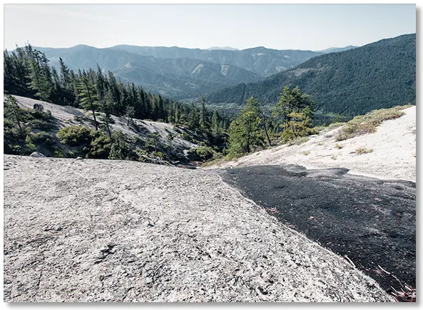
The eroded ridges on either side of the creek are either sandy decomposed granite or solid ready-to-decompose granite, but both are easy to hike on.
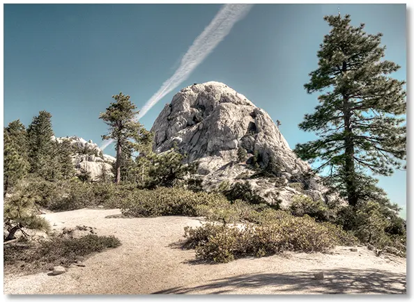
Eventually you get to the point where you can continue up the Crags Trail to Castle Dome.