Root Creek
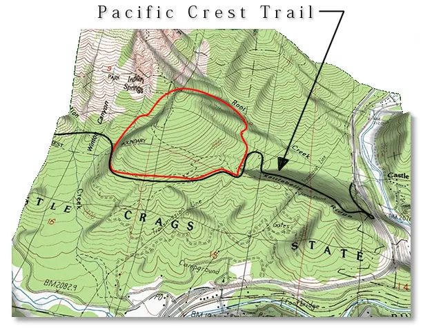
This loop began during a wine-fueled debate as to the easiest way to get from the Root Creek drainage to the south side of the Crags. We apparently achieved some Shamanistic qualities from the gallon of Red Mountain we were working on because the beginning of the cross country section from Root Creek up to meet the PCT at the junction of the Indian Springs Trail was the home of probably the densest block of poison oak I've ever seen, but we never came down with any rashes or itching. If some future Nuclear War somehow wipes out all of the poison oak in the World there will still be enough along the route here to restock the Planet many times over.
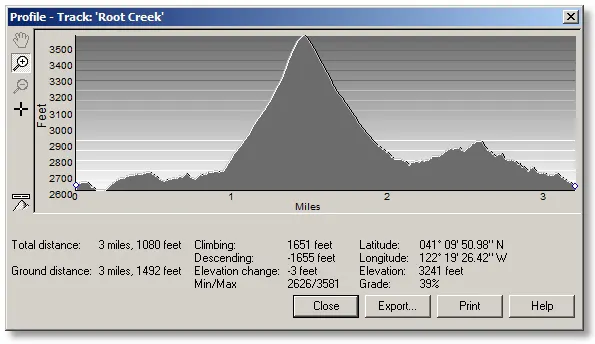
Although this is only about a 3¼ mile loop, you'll notice that the cross-country section (in the center) looks (and is) a bit strenuous.
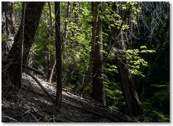
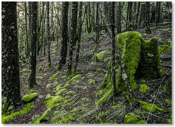
On hot summer days the Root Creek canyon is a cool, shady place to hang out, and far enough from the freeway and train tracks to offer solitude and privacy.
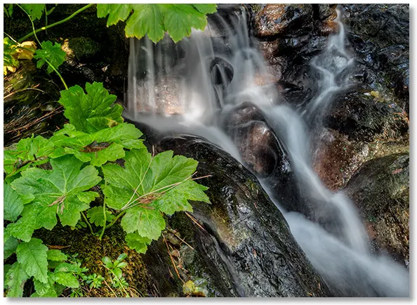
Even in late summer there's always a good amount of water in the lower section of the creek, and a covering of moss just about everywhere you look.
Following the first feeder stream past the point where the Root Creek Trail meets the creek, you simply go "uphill" until you reach the Crags Trail at the intersection with the Indian Springs Trail, then head south downhill keeping to the left of the area just below Indian Springs, which is about as close to seeming like a "jungle" as you're going to find anywhere in the Park.
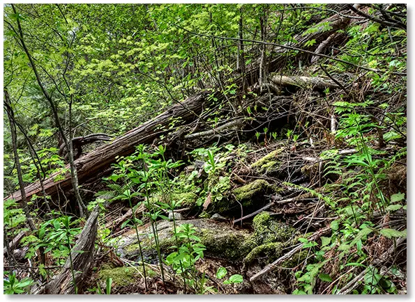
I spent the good part of an afternoon trying to worm my way through the canyon just below Indian Springs and made up my mind to avoid this area in the future. On the other hand, if you're looking for a biosphere laden with plant life of all kinds, then this is the place for you.
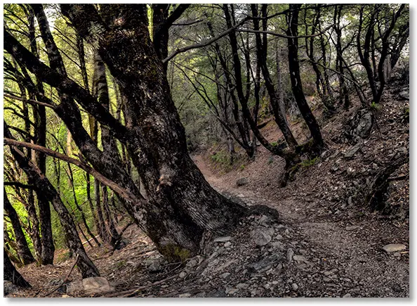
At last the Pacific Crest Trail is reached, and you can follow it back to the Root Creek Trail or the Vista Point parking area.