Little Castle Creek
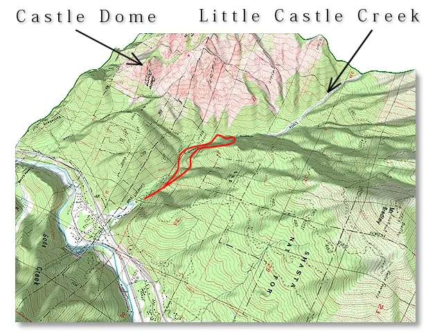
This is about a 4 mile loop that's all on dirt roads — the only part that's not is the upstream crossing of Little Castle Creek, which is best done after the Spring runoff, unless you have a death wish.
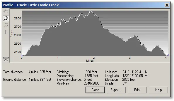
The profile is taken from doing the loop in a counter-clockwise direction — taking the "high road" to begin with, wading across the creek, then returning along the south side and crossing again on the bridge, although there's no reason that it can't be done in the other direction. Either way gives you great views of the north side of the Crags.
Shortly after parking on the paved road below the gate, you walk up the dirt road and find the separation of the "high road" and the "low road". The lower road leads to the bridge and the south side of the creek, where it continues until you have to take an overgrown road that turns into an overgrown path up to the creek crossing. You'll know you're there when the hiking along the creek gets very narrow and steep. After wading the creek you'll find the extension of the overgrown road/path that leads up to a wide, well-maintained dirt road [the high road], which you follow back downstream to the beginning of the hike.
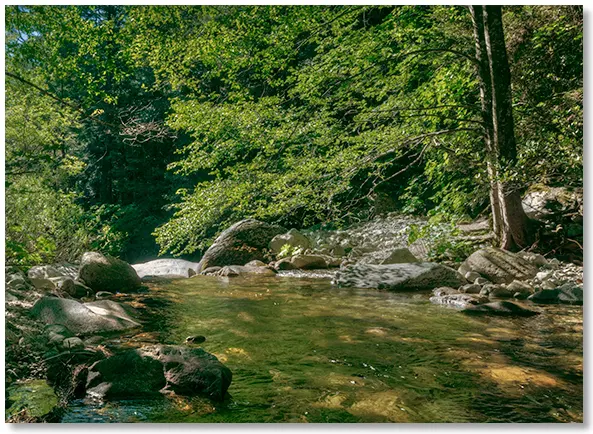
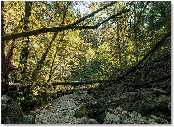
As you might expect, there are lots of nice spots to cool off along the creek, but the high road is quite a bit above the creek, so the pools are best accessed from the low road. This spot is close to where you wade across to switch sides. Don't let the tranquility of the late season photo fool you — things look a whole lot different during periods of high water.
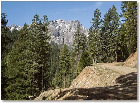
This is the beginning of one of the three bare gullies that can be seen from the high road as they provide access to the upper regions of the Crags. The lower sections can be quite thick with vegetation but things soon clear out and you're left with wide swaths of bare granite to hike on.
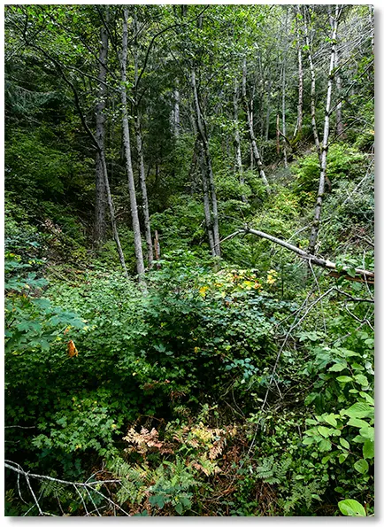
The lower end of the drainage on the south side of Little Castle Creek has a much denser undergrowth than the north side, making cross-country trips a real challenge, although there is a steep logging road that can be followed up to the ridge on the north side of the Root Creek drainage.
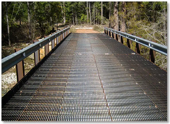
Here is the new bridge that eliminates having to wade the creek a second time. Looking down at the creekbed should convince you not to try wading across early in the season.