Hiking Journal
April 2015
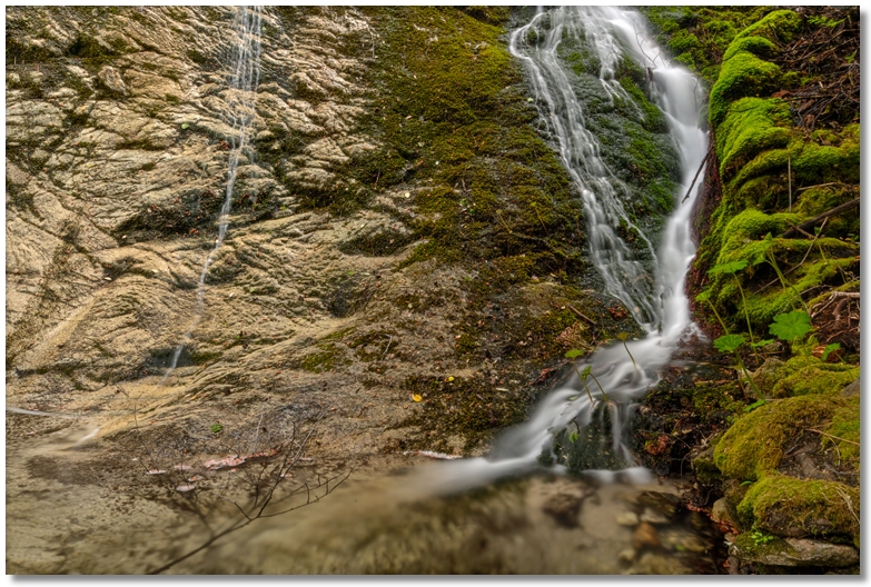
sulphur creek loop
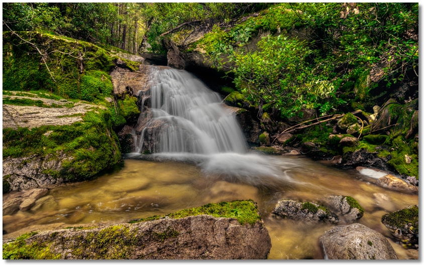
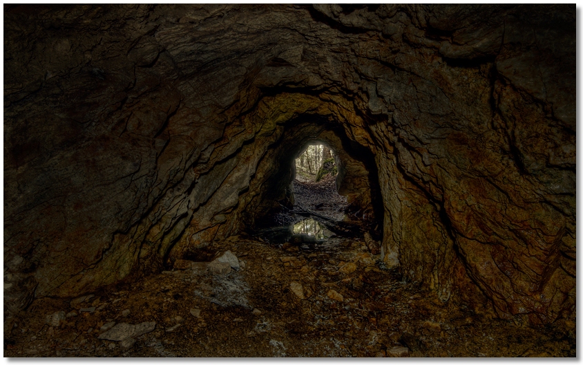
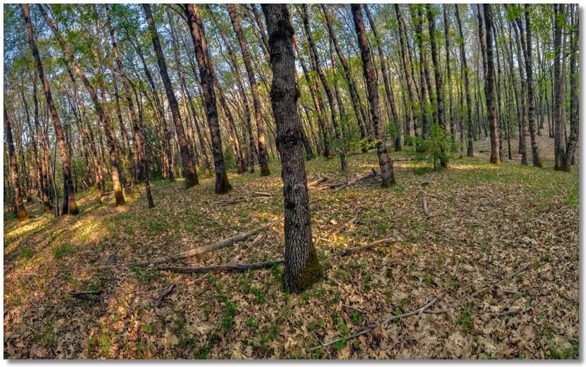
Had a nice hike in the Sulphur Creek area. The lower section of the creek was flowing quite well, but the dryness of the current year is making boulder-hopping even easier — the moss on the rocks, which is normally wet and slippery, is now dry and feels like you're walking on a carpet. I stopped by the mine [shown below] and noticed that I felt considerably warmer inside than I did outside, where it was still around freezing.
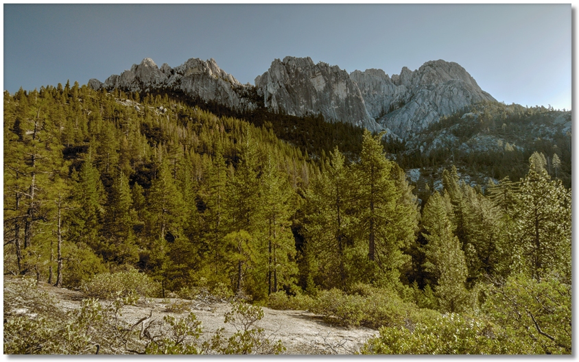
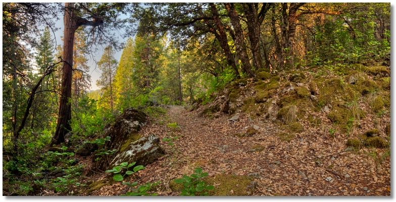
I continued up to the PCT, then followed the west fork for awhile, then headed uphill to the ridgeline and took the picture below when I finally got out into the sunshine, then headed down the east fork to my car. It was much more enjoyable making a loop trip out of it, rather than having to return on the same trail.
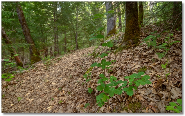
flume trail loop
A week later I did another loop trip, this time starting on the Flume Trail near the Enviromental Campground along the paved road. I followed the trail up to Dump Creek, which was quite low, then headed uphill along the "creek" to the Pacific Crest Trail, where I walked east until I was more or less "uphill" from the campground, and plodded back down to my car, making corrections here and there with a GPS.
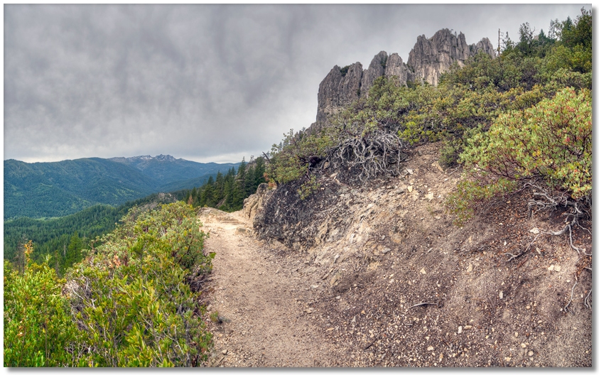
crags trail - root creek trail loop
To continue my fascination with loop trips, I left the Vista Point parking area and headed up the Crags Trail to the junction for the trail out to Indian Springs, where the springs were flowing well (and just as cold as ever). Hoping to stay ahead of an approaching bank of rain clouds, I headed back to the Crags trail, then continued downhill to Root Creek, where I followed the trail back to Vista Point.
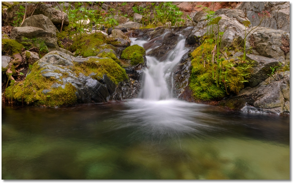
indian creek canyon
Each time I go up Indian Creek Canyon I hope to find a point where it finally widens out and the hiking is a little easier, but such was not the case this time. Hiking past the "bend" where it narrows down, I passed my previous turn around spot and pressed on, but it was still a series of falls passed only by snaking ones way up the creek itself or bypassing the whole mess on the side hills. After an hour of this I gave up and made a mental note to try it again after a month or two in order to give my knees time to get back to normal. The only downside, after almost 8 miles of hiking/thrashing, was a single tick attached to my leg — the first one in several years of flogging through the brush in the Park.