Hiking Journal
September 2015
gray rock lake

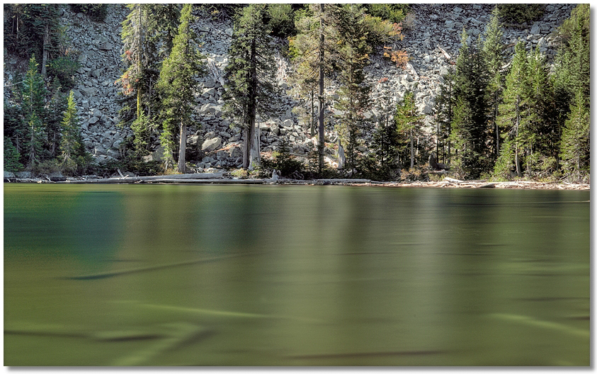
I hadn't been up to the Gray Rock Lakes in awhile so on a clear but warmish day I drove over to the Soapstone drainage for a short hike, then went up to the Gray Rock Lakes. By the time I reached the first lake the sun had risen above the ridge and things warmed up quickly, so instead of hiking to the upper lake I went over to Timber Lake and hung out for an hour or so. Not quite as much water as there was the last time I was here, but the majority of the Lilly pads in the lake looked great, and it would be difficult to find a quieter spot to kick back.
mt. eddy ridge
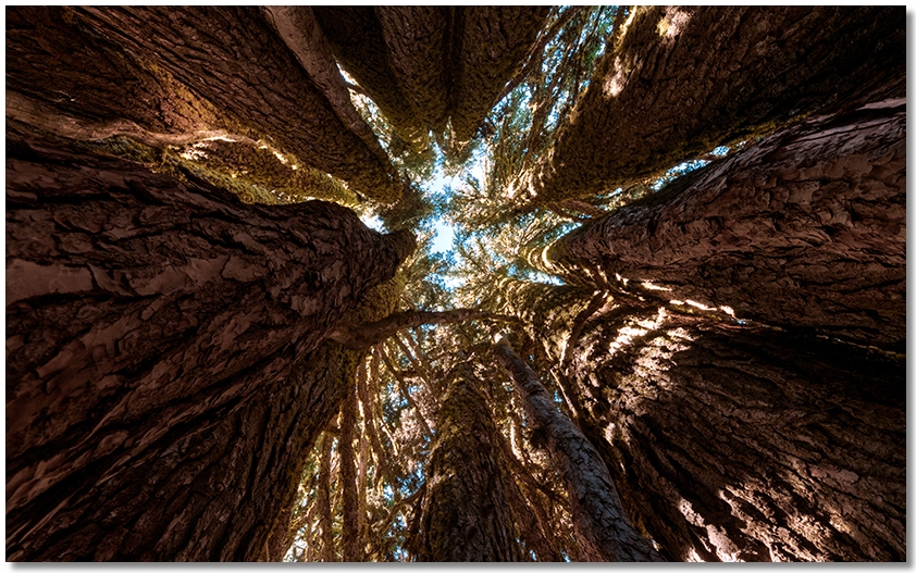
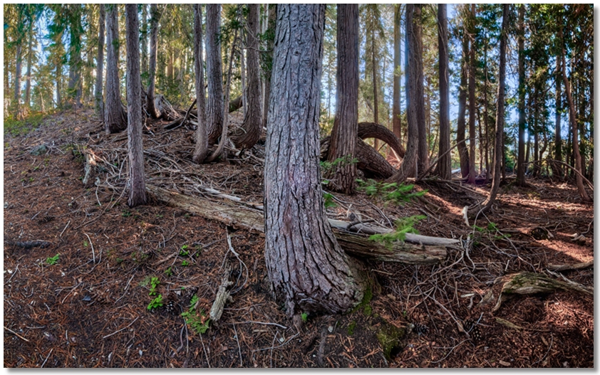
This hike had its good and bad points — on the plus side, it was a perfectly clear and cloudless day, with an almost unnaturally blue sky. Once I got up to the ridgetop, it didn't look like there were any clouds in the entire state, and the temperature was at that point of equilibrium where it wasn't too hot or too cold. On the negative side, however, it was the opening day of deer season, which didn't make for a particularly relaxing sojourn among the pines and cedars, but I managed to stay away from places that were already occupied by hunters and poked around here and there, where I came across the tree (or trees) in the photo below. From a single stump the tree had a ring of over a dozen fully grown trees growing up to thirty or forty feet high, with enough room inside to stand up — it would definitely be a cool place to build a tree fort.

soapstone trail
Having been up to Soapstone Pond a few times, I figured that if I was going to have to endure the drive up that bumpy road I should at least check out the actual Soapstone Trail, so on a beautiful clear almost-Fall day I bounced up to the small parking area and proceeded along the old road to the junction with the trail itself, which rated a description of maybe one notch above "faint". Once I was actually "on" the trail it proved to be very well maintained — at every location where a tree had fallen across it, the offending tree had been cut back so far away on either side that you could have driven through with a motor home, if that became necessary.
It was so quiet in this area that I almost felt guilty if I happened to step on a branch or a patch of dry leaves. It took a little under an hour to reach the ridgetop, with nice views to the northwest but everywhere else blocked by trees.

pacific crest trail
Getting an earlier start than my usual early start I drove up to the PCT trailhead above Gumboot Lake, where I quickly realized that I could have stayed in bed for at least another half hour or so. Bringing a small flashlight along just in case, I picked my way along the trail heading north. Soon it got light enough to walk in a normal pace and I was delighted to note that while the same trail heading south of the trailhead is almost all rocks, for some weird reason the trail on this side is almost completely on nice, firm, smooth dirt, with very few ups and downs. Being on a ridgetop, the canyon-dwelling sounds of trains, trucks, and automobiles are replaced by the occasional airplane or the wind in the pines.
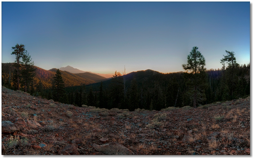
One feature that became evident while traveling on a "dirt" surface is, with the preponderance of hikers using trekking poles, there are now row upon row of indentations perfectly suitable to be used as ant lion houses lining both sides of the trail. I paused above the Fawn Creek drainage to watch the sunrise, then continued over to the head of the Middle Fork of the Sacramento River drainage to look around with my binoculars, then headed back, noting that there was a good flow of water at the White Ridge Spring this late in the season in the second of two dry years.
