Hiking Journal
April 2016
flume trail loop
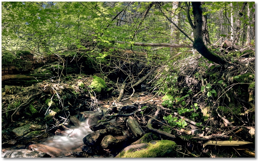
My early season hikes often take me to the south side of the Crags, so this time I parked near the "environmental" campground and headed up the western section of the Flume Trail.
Aside from the usual littering of downed trees and branches from the previous winter, the trail was very pleasant, although judicious concentration was required to avoid this year's crop of poison oak. I continued up to the Pacific Crest Trail, then turned left and walked west until I reached the saddle where the Flume Trail terminates, and followed it back down to Dump Creek and eventually the campground. Other than the very robust clumps of poison oak here and there, I did manage to time my hike during the peak (it seemed) of the Dogwood flowerings.
service road loop
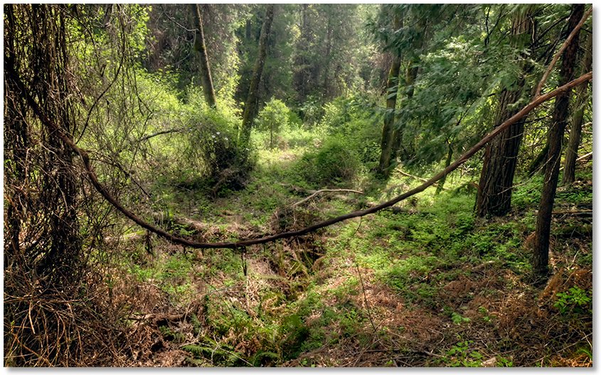
Another loop hike I like is to start at the Vista Point parking area and walk over to the beginning of the trail, then angle downhill to the right on the old road until I get to the Pacific Crest Trail. I turned right (east) and walked until I got to the Kettlebelly Trail and followed it around the hill and back down until it merged into the dirt service road at the crossing of the paved road up to the parking area. Noticed several piles of reasonably fresh bear poop along the trail.
I continued along the service road until there is a faint cat trail that takes off uphill to access the power line right-of-way. "Uphill" is the word to focus on along this section as you gain altitude very quickly. After reaching the power lines (and catching my breath) I continued cross-country straight uphill on surprisingly slippery pine needles until I reached the service road again near the junction of the Bob's Hat Trail. Pausing again to straighten out my ankles after they'd been pointed straight up for the last half hour (and to remind myself to stay on the road next time), I followed the trail up to the PCT and then returned to the parking area. This is not something that I'd enjoy doing on a daily basis, but it was fun and a nice way of getting a workout and not having to go out and come back on the same trail.
black butte
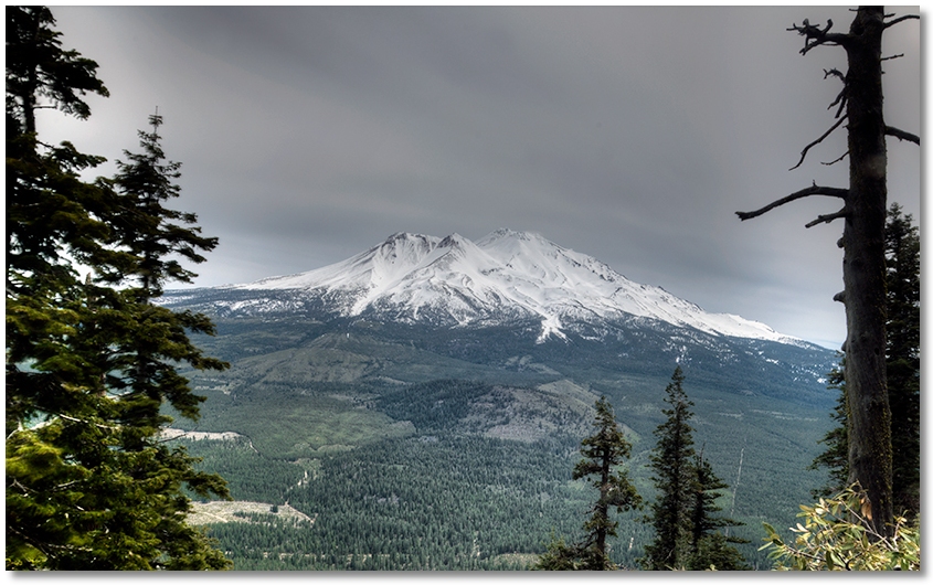
I hadn't been on Black Butte in awhile so on a clear, calm morning I drove over to the trailhead and started up. There were still scatterings of snow here and there and the trail was damp but in good shape. By the time I made it to where you're looking down on the freeway the sky became clouded over and the wind picked up. After reaching the spot where the trail turns sharply back toward Mt. Shasta the wind was now blowing pretty good and it was getting colder by the minute. Reaching the "Mt. Shasta" side of Black Butte I was now being blasted by a very determined and cold wind, so I decided to turn around and come back on a calmer day.
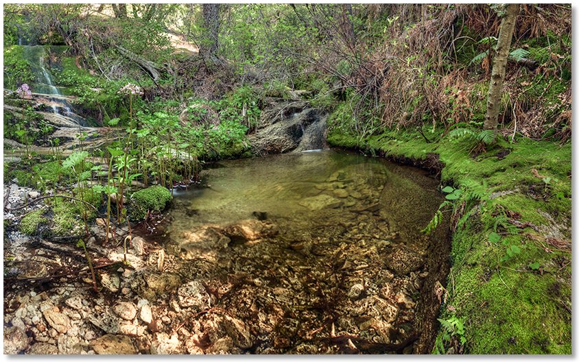
root creek
I couldn't let a nice sunny day go to waste without a hike so I walked out to Root Creek and followed the trail around the corner to the base of the rocks. I wanted to clamber up the gorge aways but I only got to the first pool and found that the narrow shelf I had to use to get up to the next pool was covered in the spray from the creek and looked too slippery to deal with. Another week or so and I'll try it again, although there appears to be a good amount of snowmelt left to come. The Dogwood were gone but the Tiger Lilies and Azaleas are almost ready to bloom. I did see two small snakes but no rattlers. Everything is very green...