Hiking Journal
October 2016
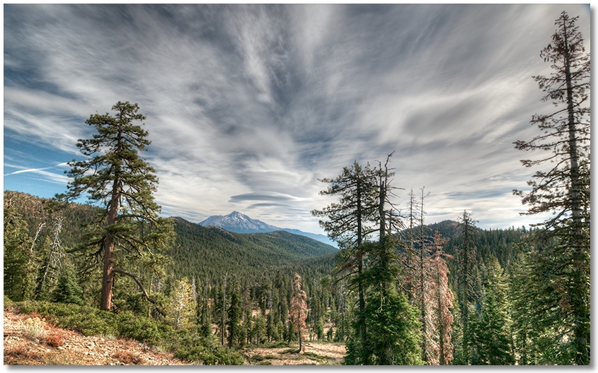
Deadfall area
Another trip to the Deadfall area to see how the usually-green meadows looked this late in the season. As expected, they were now a deep, rich tan color, but several of the springs feeding them were still flowing. I headed up to the ridgetop to meet the Pacific Crest Trail and was greeted with a brisk, cold wind and increasing clouds, with snow on the ground in the shaded areas, so I reluctantly headed back to the car knowing that this was probably my last trip up here this year.
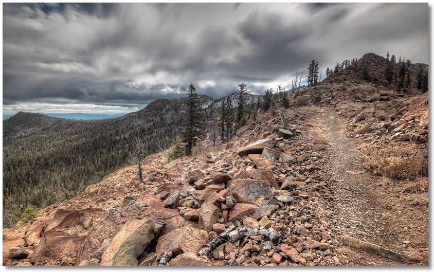
pacific crest trail north from gumboot
(White Ridge on left, Bear Ridge on right)
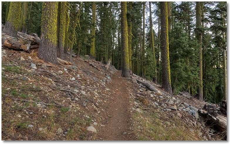
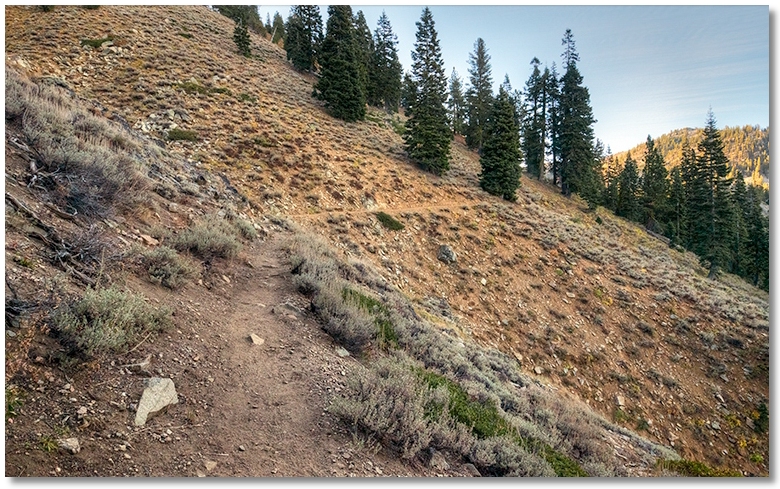
An overcast morning but at this time of year I can't be too picky with my weather requirements so I headed up to the PCT trailhead above Gumboot Lake for a hike out toward Toad and Porcupine Lakes. The character of the trail on this side of the parking area is much different from that on the other side. Hiking south (toward the Trinity Divide) is done on a narrow, rocky trail with several ups and downs, but going north the trail is wider, practically level, and, for the most part, covered in dirt, which makes for easy hiking.
(White Ridge on right)
Much like the PCT anywhere around here, you contour along below a peak, then come up to a saddle, then contour around another peak, and again meet up with a saddle, which affords great views of everything that's not on your side of the ridge. I never made it as far as Toad Lake because of increasing clouds and a late start, but maybe next year...
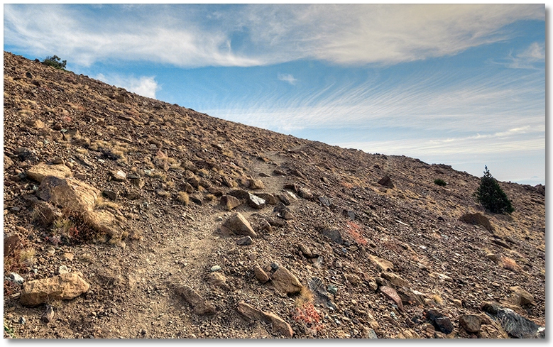
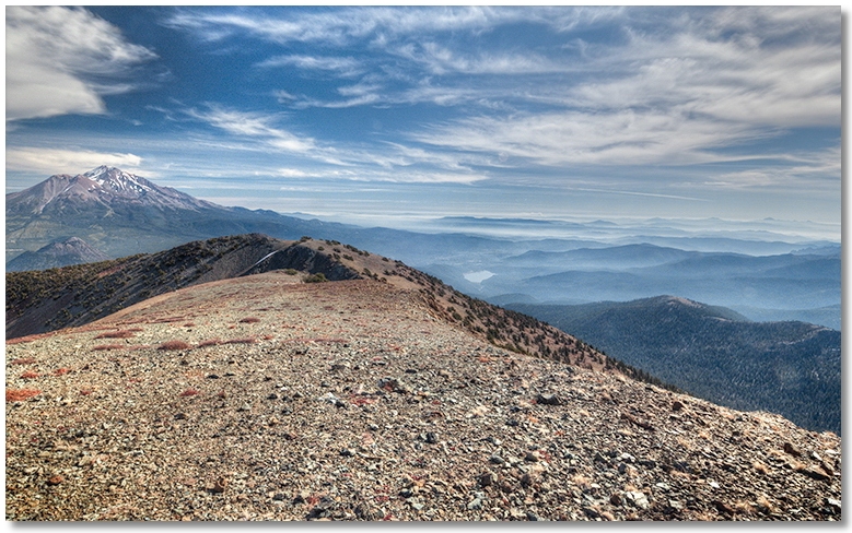
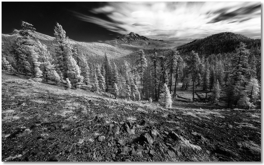
mt. eddy
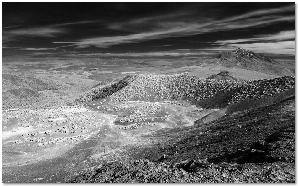
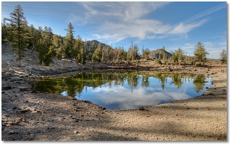
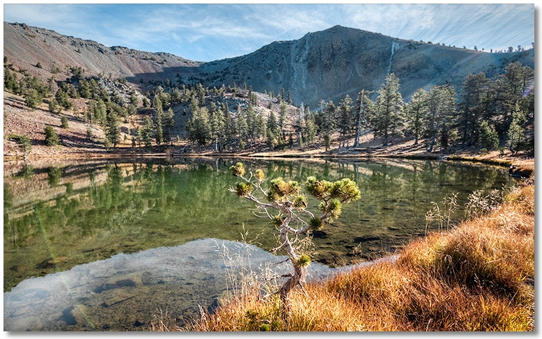
Hearing from just about anyone I talked to that there was a "big storm coming" I drove up to the PCT trailhead above Parks Creek to hike up to Mt. Eddy, for what surely would be my last opportunity this year.
Enjoying the calm before the storm, I had the trail to myself as far as the Upper Lake, where there were spots in the shade showing frost, but no wind to speak of. Reaching the ridge at 8,000' there was only a slight breeze and warmish sunlight, and for once the distant horizons weren't obscured with smoke from forest fires. I poked around on the summit for an hour or so taking pictures and looking at all of the interesting rocks, then headed down for the grueler of a hike back to the parking area.
Below are some pictures I took along the trail: