Hiking Journal
February 2017
after the storm
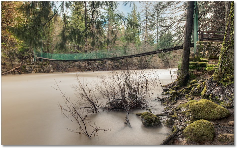
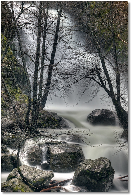
Yet another storm came and went, so I drove down to the Crags to see how high the Sacramento River was. It certainly qualified for the category of "high", although not as high as it was after the New Years storm of '97. The approaches to the suspension bridge [above] were blocked off, so I had to get my picture from the bank downstream, although quite a bit farther up than I could have been during the Summer.
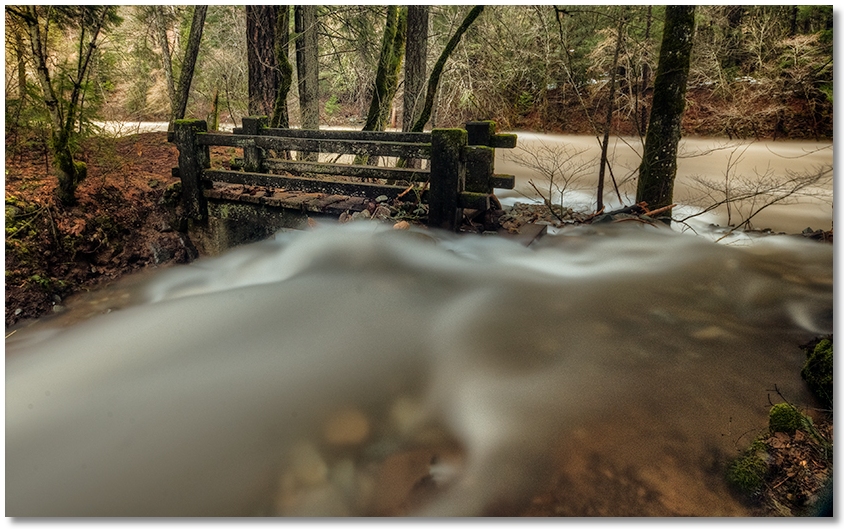
Fall Creek was impressively high, and thanks to a large tree trunk that got "re-positioned" by the torrent, it was diverted around the River Trail bridge, rather than under it. Compare this photo to the same view on my December 2016 journal page. On my way home I stopped to look at Hedge Creek Falls [below], which was impressive as always.
sulphur creek
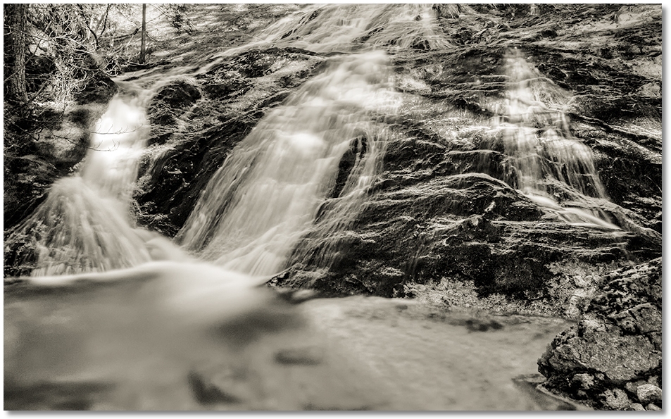
After a period of warm temperatures and rain, I left my snowshoes at home and went down to Sulphur Creek to once again walk along in contact with the Earth. The lower part of the trail was still chilly, but after passing the Pacific Crest Trail and continuing up the creek it became like a Spring day! Instead of nothing but snow beneath my feet there were now rocks, leaves, and pine needles, making the hiking much more enjoyable. I stopped at the cascades [above] for lunch, then returned to my car, almost wishing I brought shorts along.
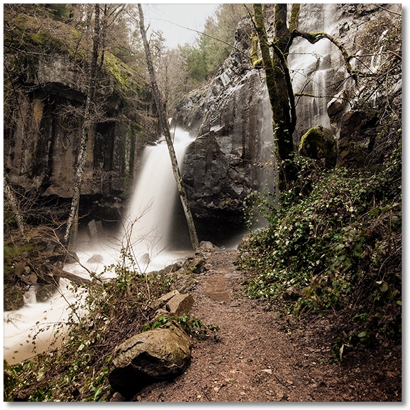
parks creek overflow
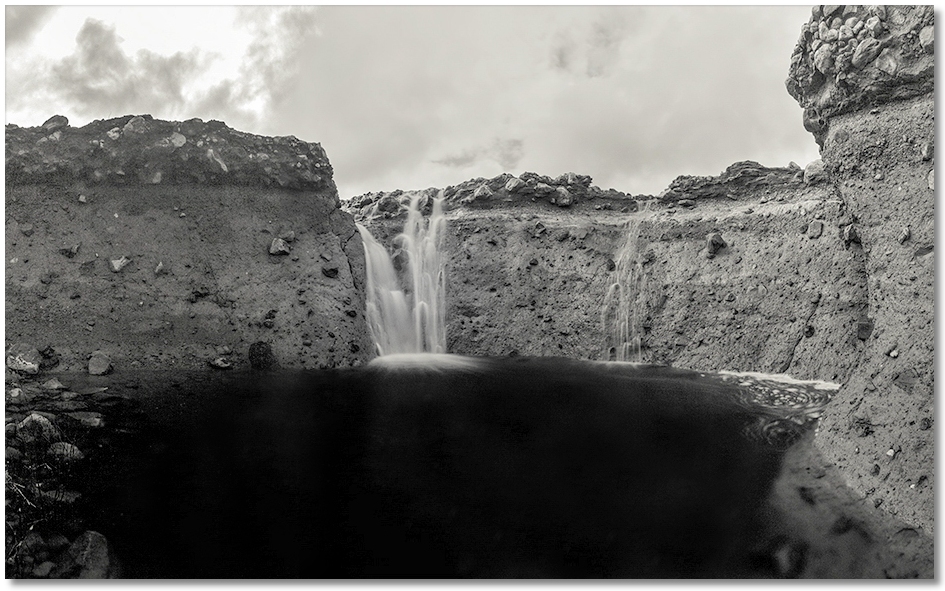
The wind stopped, the rain stopped, and I stumbled outside into a blindingly bright sunny day to walk over to the Parks Creek overflow to see the circular waterfall. Usually appearing like a miniature Niagara this time of year, I was startled to see it almost dry! Unsure of the cause of the blockage, I nevertheless revelled in the opportunity to see the spot from the creek level, instead of standing up on the bank.
The walls of the gorge were scoured clean by the usually fast moving water, and it was interesting to see the different layers of debris no doubt laid down by an eruption of Mt. Shasta a long time ago. For comparison, check out the falls during a high flow period in my February 2016 journal.
ney springs creek
I took advantage of the second reasonably sunny day in the last few weeks to see how Faery Falls on Ney Springs Creek looked like after all of the snow and rain — it was the fullest I've ever seen it. I couldn't get a picture from any closer because of all the spray, but it was definitely not a good day to wade around at the base of the falls, as I've done many times in the summer.
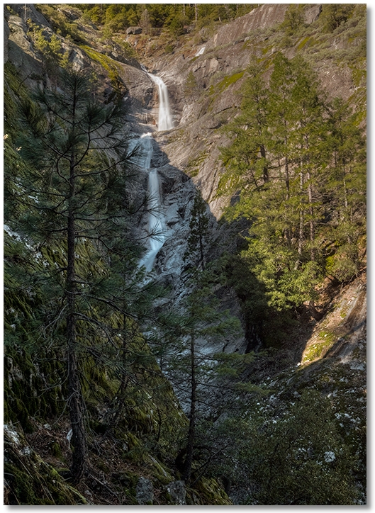
root creek
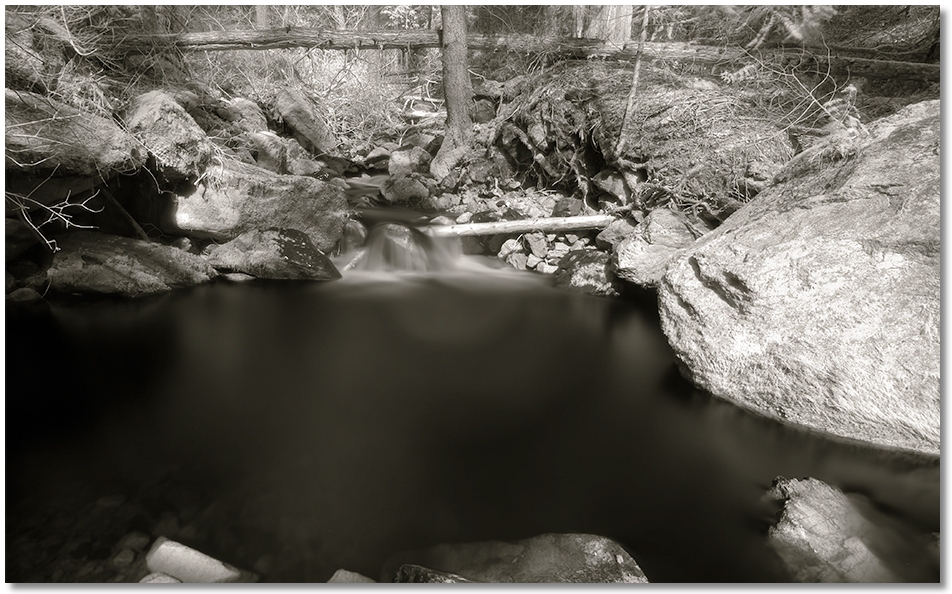
Another "reasonably" sunny day (a Monday) and I had the whole Root Creek side of the Park to myself. A quick walk out the trail to the creek and then a bit of dodging downed trees on the way up to look at the falls. The water in the creek was almost back to normal [photo above] but unfortunately the nice pool at the base of the rocks has been pretty much blasted away by the high water a few weeks ago and what's left isn't nearly as "pristine" as it used to be.