Hiking Journal
March 2017
campground area loop
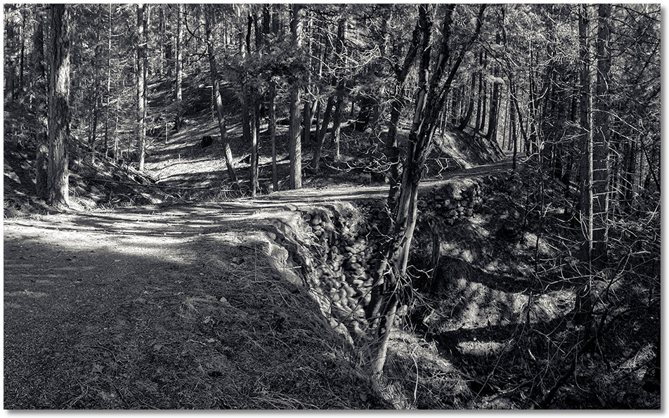
To get away from snow-covered trails in shady spots in the Crags I started at the Vista Point parking area and headed over to the Pacific Crest Trail to hike along the southern side of the Park. I went along until I reached Bob's Hat Trail, went down to the service road, then headed straight downhill until I intercepted the same road again, saving about ¾ mile of road walking.
This part of the service road is a bit more interesting, hence the shortcut. I followed the road until it met the Vista Point Trail, then followed that <steep>uphill</steep> until I returned to the parking area, completing about a 4 mile loop.
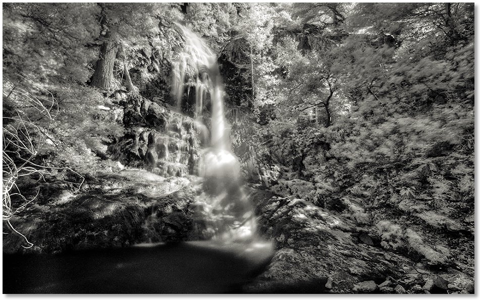
ney springs creek
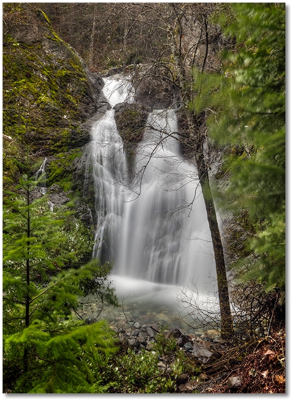
The last time I hiked up to see the falls was right after a long period of snow and warm rain — the creek was flowing so hard the noise was almost uncomfortable, and I couldn't get too close to the falls because of all the spray. This time the creek was lower and the falls, though not quite as full as last time, were still pretty cool to look at.
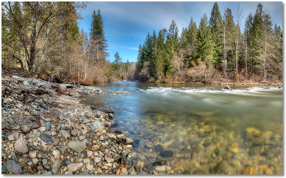
root creek
The sun came out but so did the wind, so I poked around the Root Creek drainage under the protective canopy of the trees. Only a few mushrooms here and there, but after all of the rain and snow we've had, this Spring should be a good one for carpeting the forest floor. The creek was still up a bit, but most of the old logjams were washed away and replaced by new ones, often in the same locations. It was like watching a remake of a familiar movie — you knew what was happening, where it was happening, and when it was happening, but something just wasn't the same.
castle dome
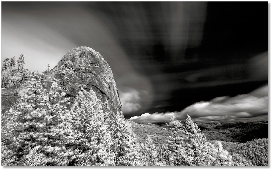
Feeling energized by a cloudless, windless morning, I drove down to the Crags to hike up to the Dome. Unfortunately, by the time I got there the wind picked up and the clouds followed. The trail was soft and damp after a good rain the day before, but by the time I got up to the spot where the nice Brewer's Spruce tree lives I could see that the rocks above were going in and out of the clouds, so I stopped there and got a picture of Castle Dome and Mt. Shasta, then headed back down.
burstarse falls
With the water in Castle Creek still a nice green it seemed like a good time to hike out and see the falls on Burstarse Creek. The lower section of the Dog Trail resembled not so much a trail as a dry creekbed, thanks to the wet winter and poor drainage. I hiked up to the upper fall on Burstarse Creek and while still as impressive as always a stiff wind blew a lot of the flow off to the side, making it appear that there was less water than there actually was. The lower fall, however, looked nice and full and on a hot summer day was a great place to cool off.